
ZiaMap: the initial point for land survey operations
Your instrument collects the data. Your CAD produces the deliverables. ZiaMap is the hub for everything in between: notes and photos today, change orders, hands-free field notes, and reports next.
Early access is open and 100% free to use.
One project, open on every screen.
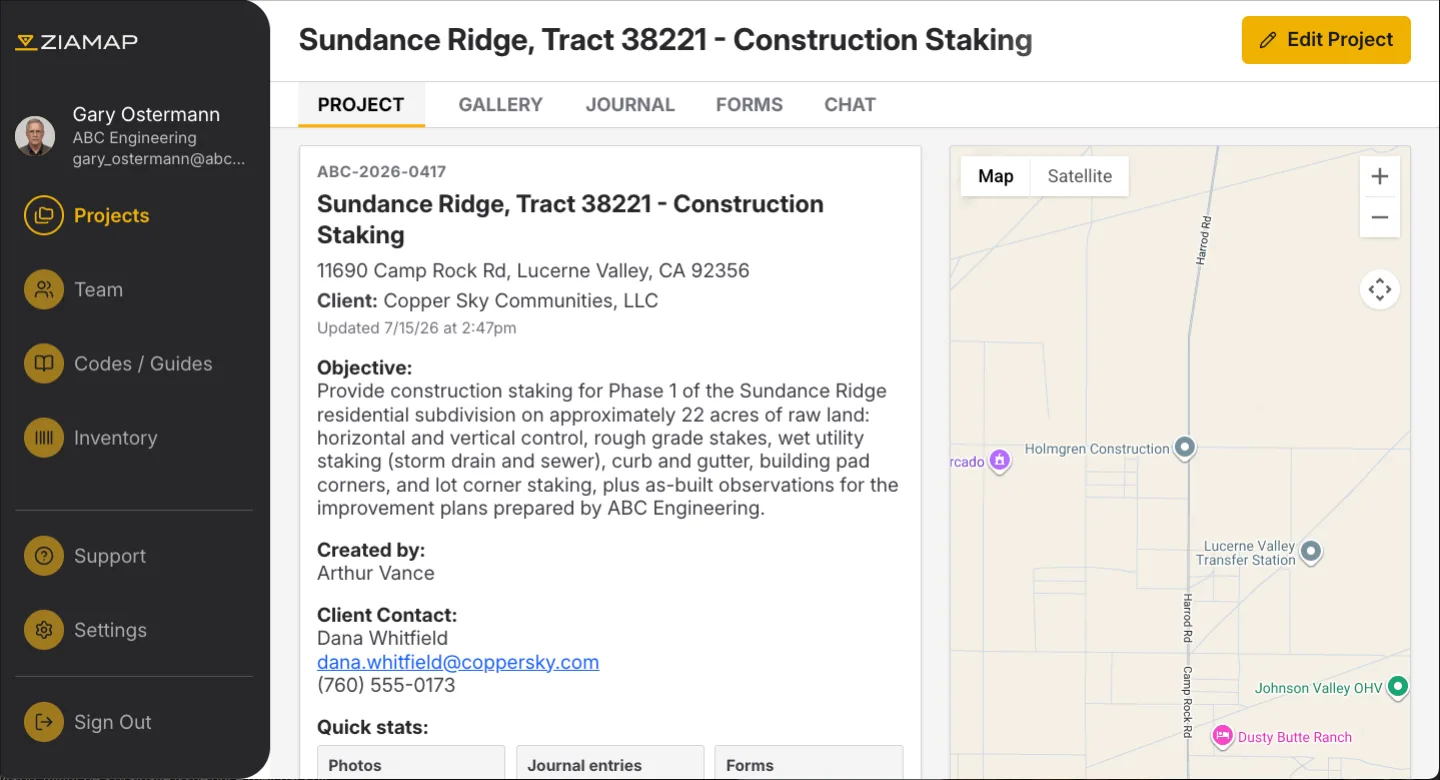
Project The overview: client, objective, location, and quick stats for the whole job.
The whole crew works the same job. Click through the office desktop and watch the same project follow you to the field.
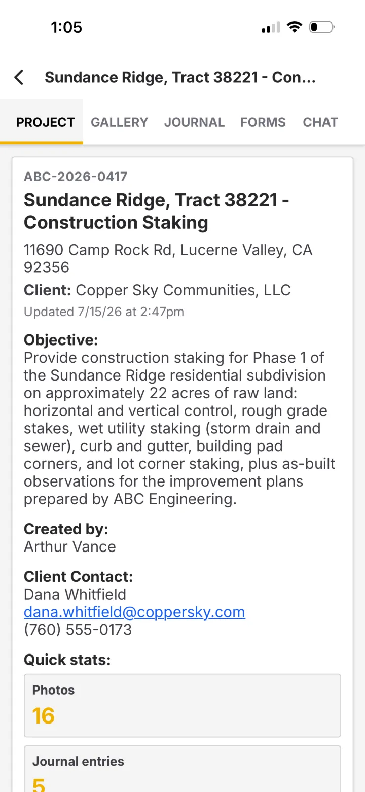
One record. The whole team has it.
Capture
Photos, notes, observations, forms, and chats, tagged with location and time.
Syncs
Works offline. Sends to the office the moment signal returns.
Office ready
The office team opens a project that is already complete.
One record, from the tailgate to the drafting desk.
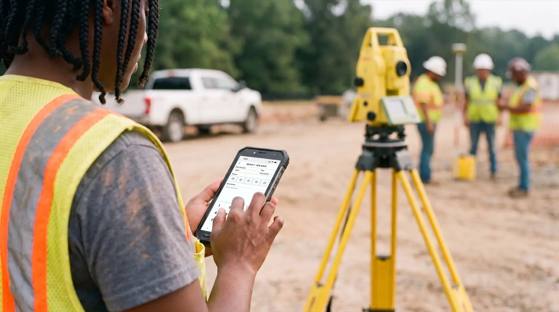 On site, one free hand
It starts where the work happens.
Photos, notes, observations, and forms captured on the phone, tagged with location and time the moment they are taken. No end-of-day transcription.
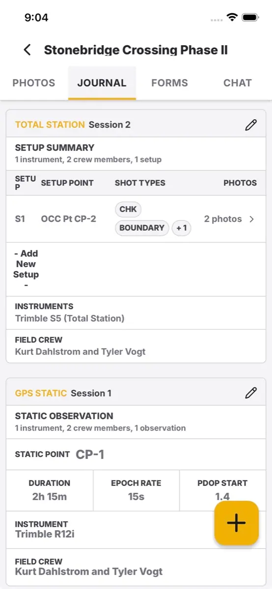
The record writes itself.
Every capture lands in one chronological log as the day goes. The whole crew works the same job, off the same record.
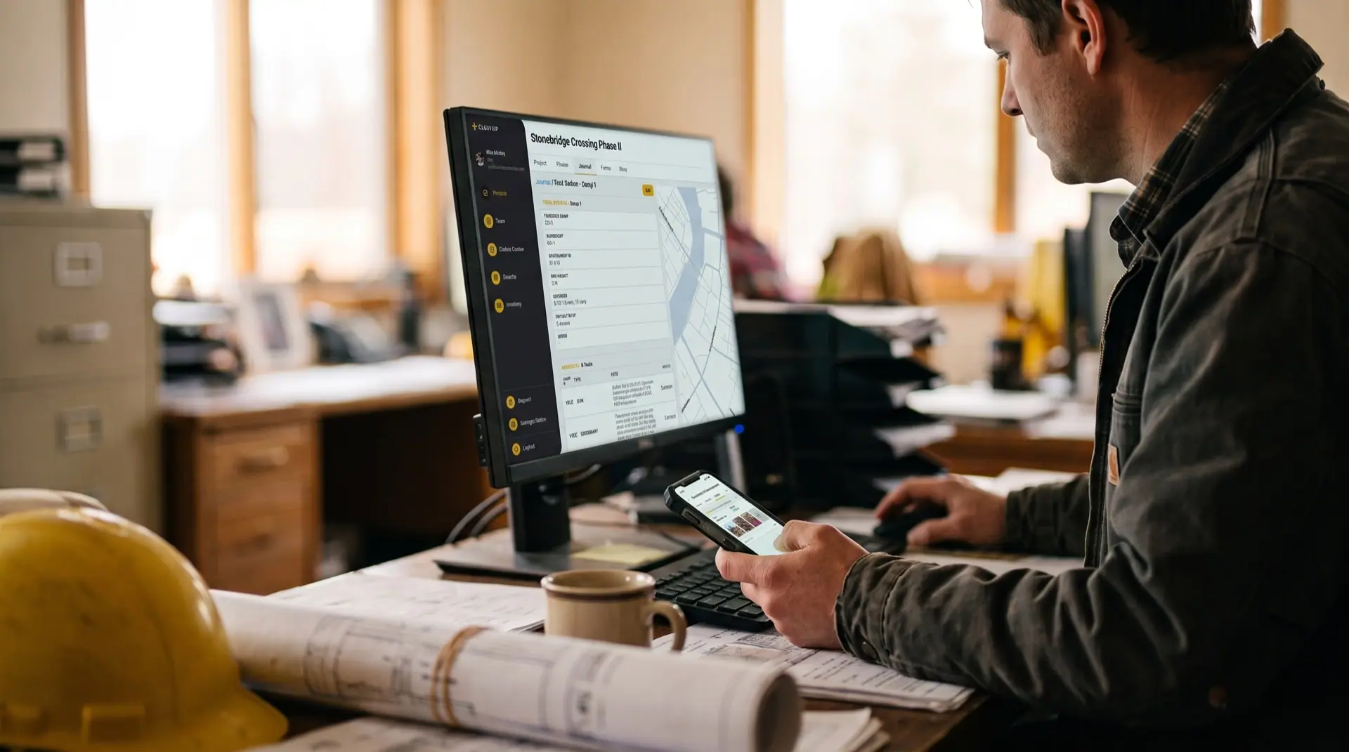 The office sees it in real time
Opens already complete.
The desktop app is review, not data entry. Every capture is already on the project, ready for the drafter the moment they sit down.
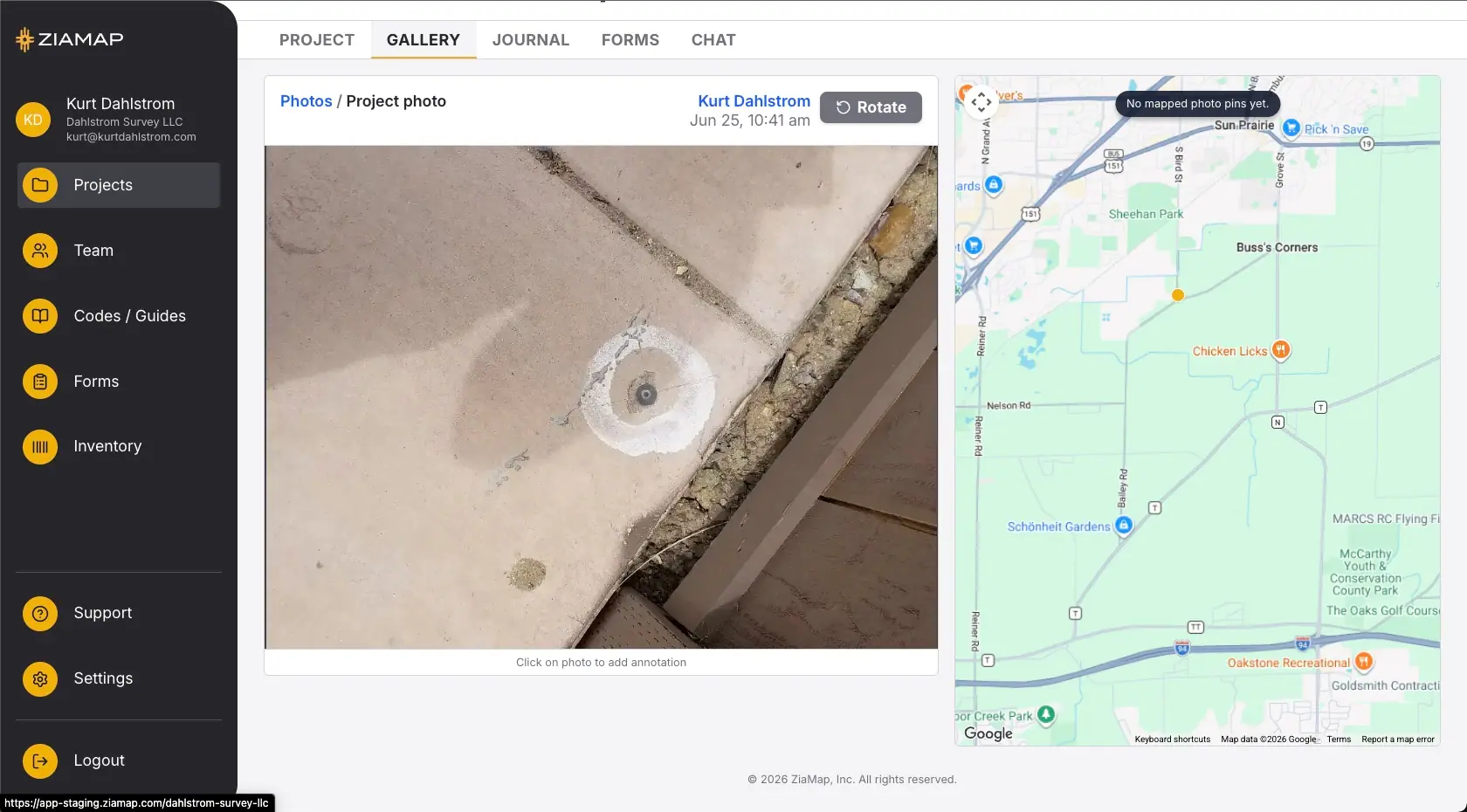
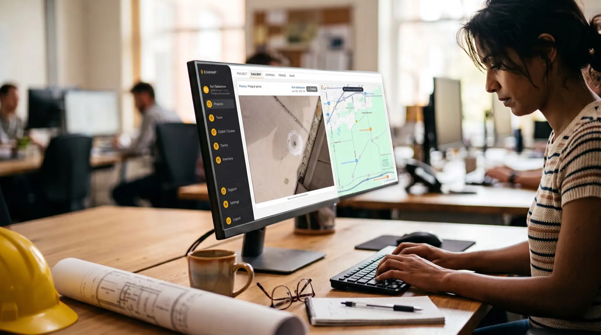
Every capture, exactly where it happened.
Click any pin to open the photo, the note, and its metadata. Forms and sign-offs live on the same record.
“Your instrument does your points. Your CAD does your line work. Nobody ever built the part in between. So I did.”
The founder of ZiaMap · a surveyor with 30 years in the field
Get your whole crew on the same job.
One firm, one price. $299 a month for your first five users. Early access is free while it is open.